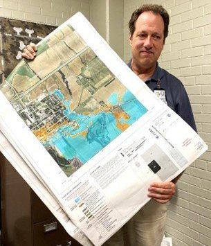
The new Dickinson County flood plain maps are on hold – again.
County staff were expecting to receive a letter of final determination in July to be issued in early August from the Kansas Division of Water Resources (KDWR) and Federal Emergency Management Agency (FEMA) Region 7. However, state and federal officials notified the county that additional errors had been discovered in the maps that affect elevation data in some areas inside and outside the city limits of various Dickinson County cities. According to Dickinson County Planning and Zoning Director Tim Hamilton “Unfortunately, we will not be getting the letter of final determination because they found errors again — for the third time,” “It’s believed these elevations were primarily clerical errors.” Those errors will delay the process a year, Hamilton said, meaning the old maps will remain in place.


