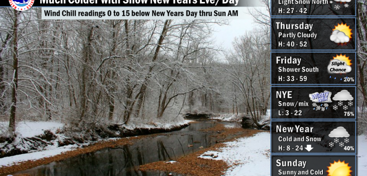
This storm system may produce a band of heavier snow but it is too early to tell where this heavy snow band will develop across the area. North winds will increase to 15 to 25 MPH with gusts to 40 MPH possible Temperatures will fall into the single digits and teens across the area Saturday morning and not rise much during the afternoon. The strong winds will cause wind chills to drop to around 15 below zero along the NE border, with 8 to 13 below zero north of I-70, and 0 to 8 south of I-70. The cold wind chills will last through Saturday night into Sunday morning. Sunday temperatures will be cold but moderate a bit into the upper 20s to mid-30s.